|
|
|
WBT&S Remnants 2011 March 26, 2011 Once again the Rose family was visiting extended family near Trinity and used the trip to the Piney Woods of East Texas as an excuse to trace the old route of the Wobbly. This was our most extensive Ferroequinearcheology investigation on the Wobbly yet.
|
|
|
|
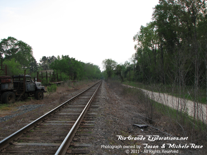
This is the grade crossing in Trinity with the only remaining segment of WBTS trackage
|
|
|
|
This is the grade crossing in Trinity with the only remaining segment of WBTS trackage
|
|
|
|
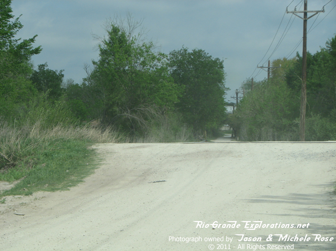
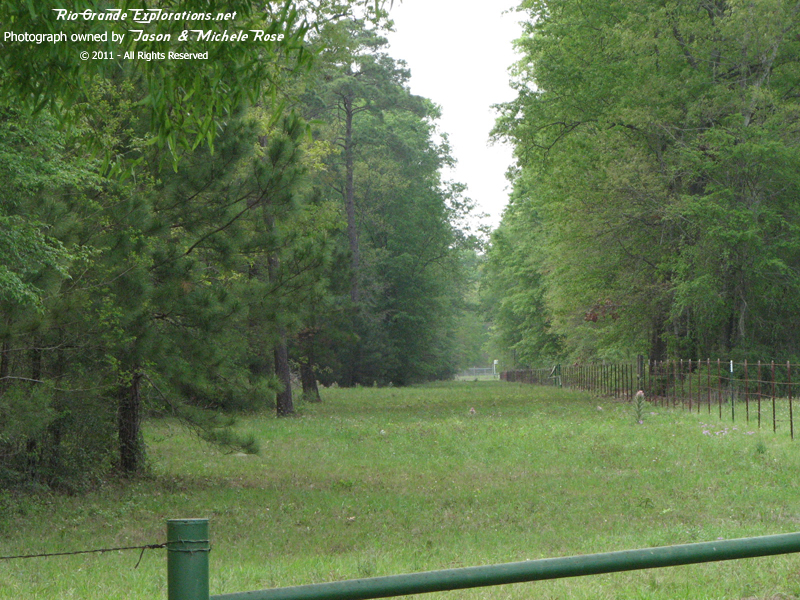
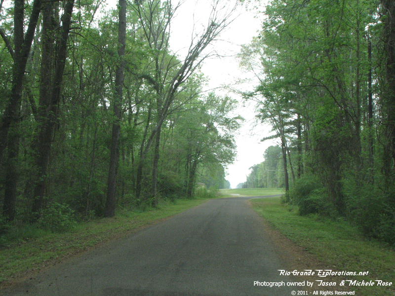
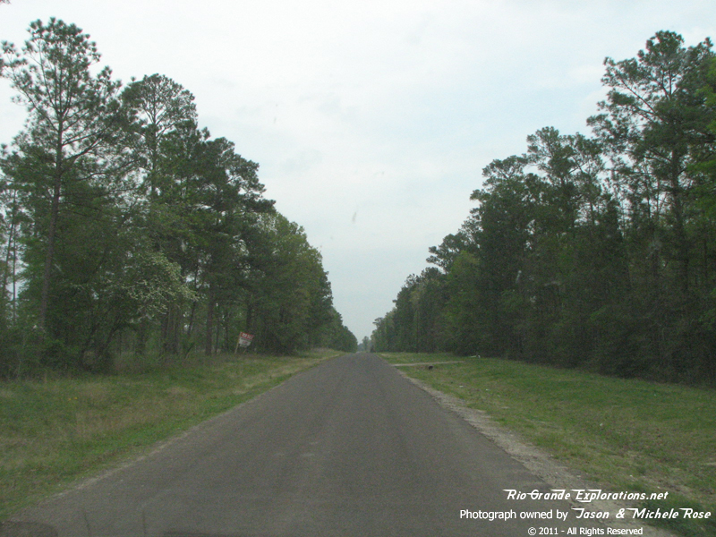
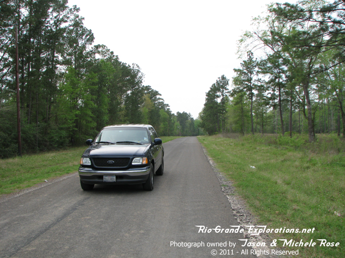
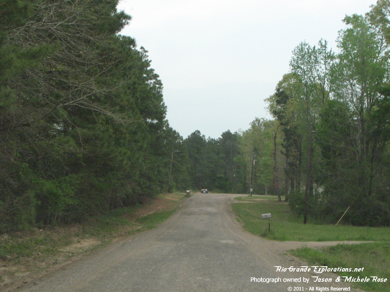
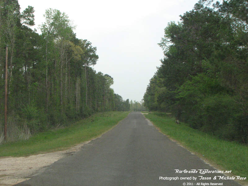
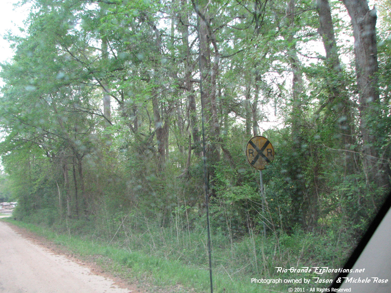
Heading east on FM356, west of Onalaska
|
|
|
|
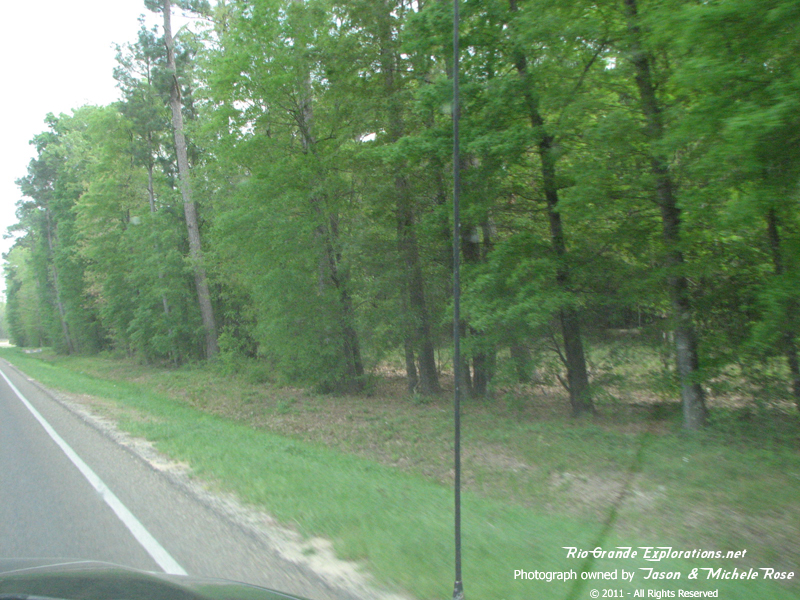
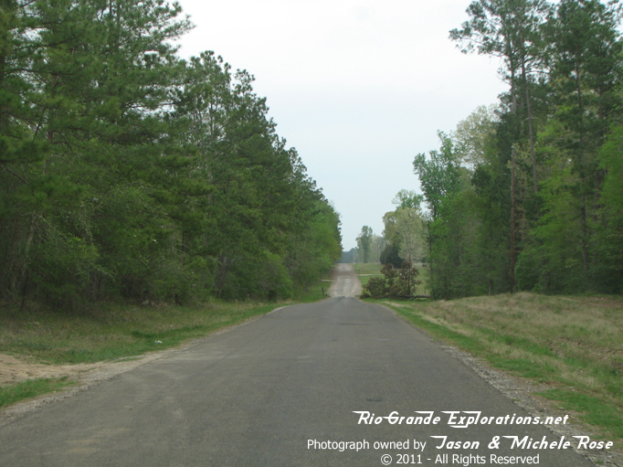
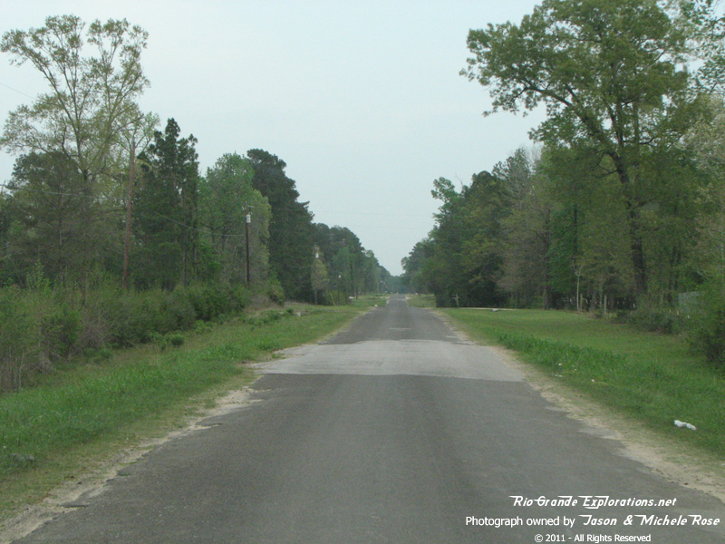
You can see the clearing of the RoW through the tress along FM356
|
|
|
|
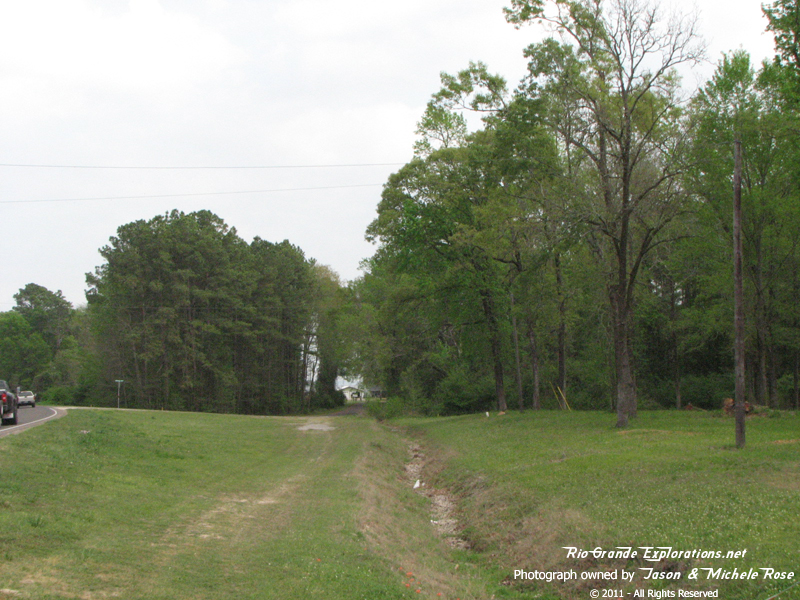
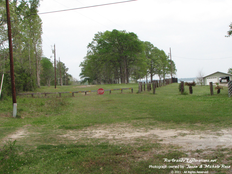
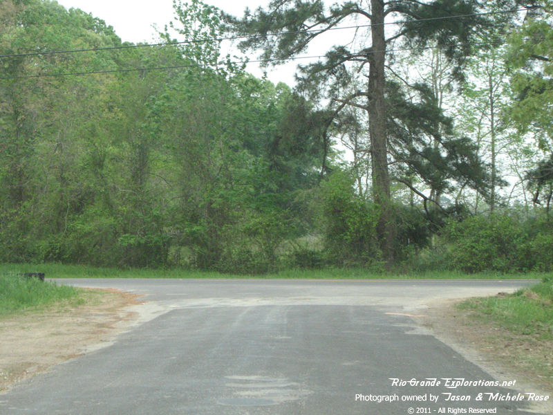
Looking west down the RoW at Oak Park Trail / Dalewood & FM356.
|
|
|
|
Looking east from the same spot: Park Trail / Dalewood & FM356
|
|
|
|
A hundred yards east of the last two photos on Park Dr. Looking west (center photo) and east (right photo)
|
|
|
|
A hundred yards east of the last two photos on Park Dr. Looking west (center photo) and east (right photo)
|
|
|
|
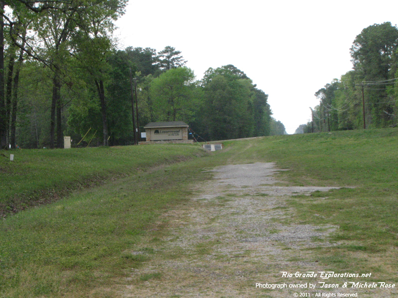
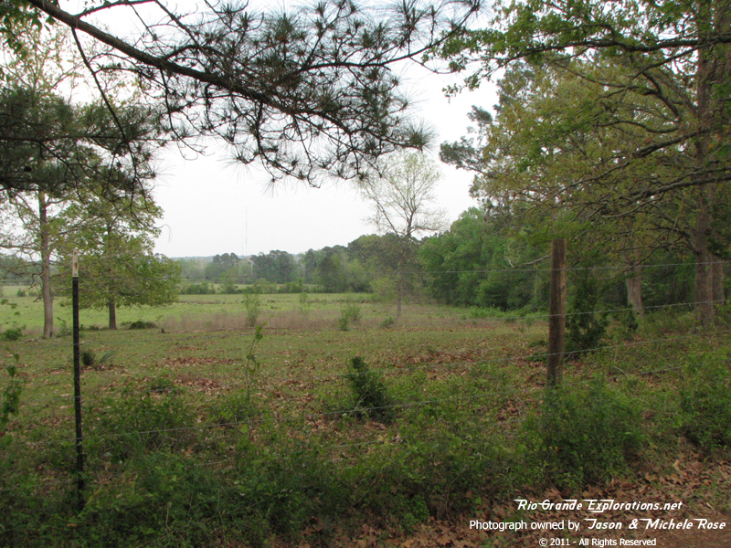
Still on Park Dr looking east.
This is very near the spot where to the RoW drops into the Trinity River Valley... now called Lake Livingston.
|
|
|
|
Still on Park Dr looking west.
This is very near the spot where to the RoW drops into the Trinity River Valley... now called Lake Livingston.
|
|
|
|
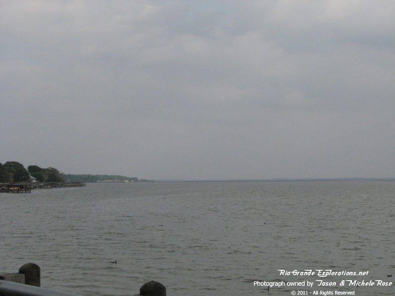
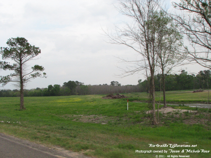
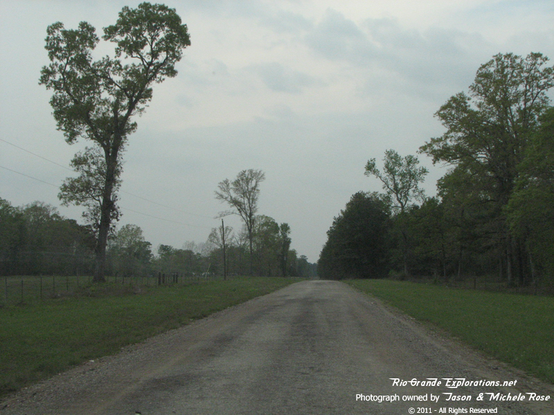
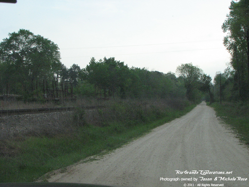
The Beaumont Division of the WBTS continued on, south of Onalaska, towards Livingston. Today the grade is deep under the waters of Lake Livingston.
|
|
|
|
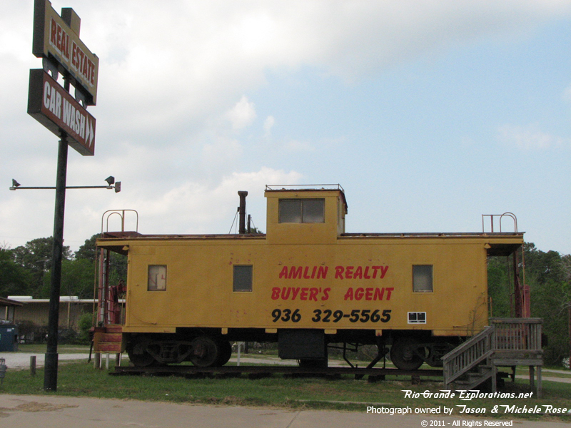
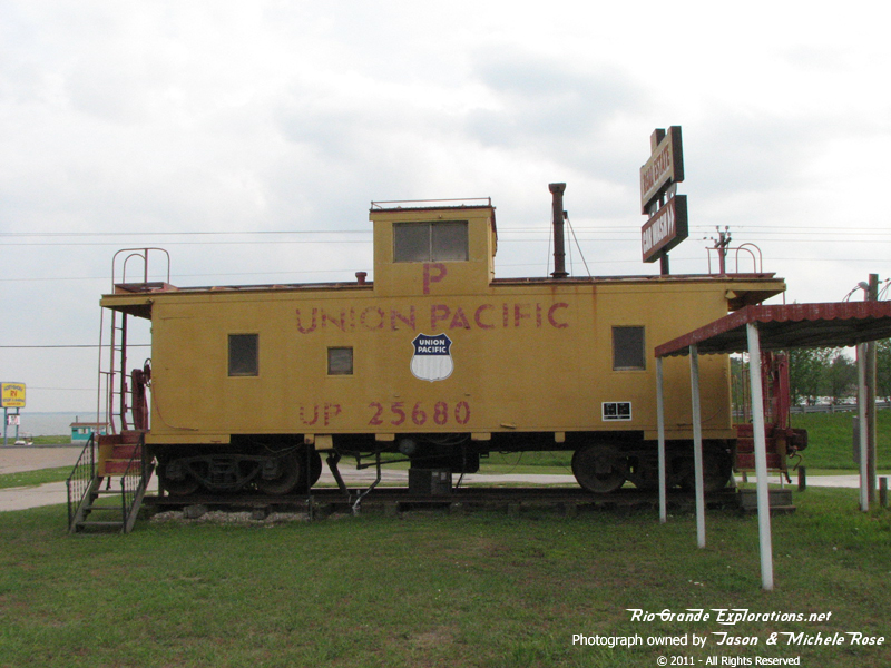
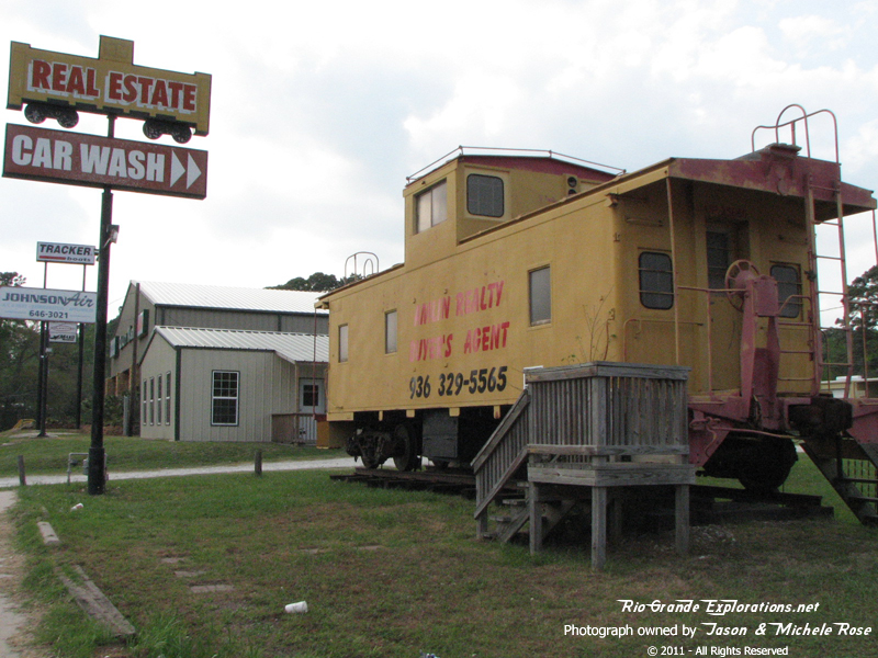
In Onalaska we were surprised to find UP Caboose 25680 serving as a reality office.
|
|
|
|
In Onalaska we were surprised to find UP Caboose 25680 serving as a reality office.
|
|
|
|
In Onalaska we were surprised to find UP Caboose 25680 serving as a reality office.
|
|
|
|
This is in Blanchard, TX looking west towards Lake Livingston. About a half mile west of here is where the RoW emerges from the Lake.
|
|
|
|
This is in Blanchard, TX looking west towards Lake Livingston. About a half mile west of here is where the RoW emerges from the Lake.
|
|
|
|
Blanchard Baptist Church sits on the RoW at the intersection of FM3126 and FM2457. This photo looks east across from FM3126 towards Livingston.
|
|
|
|
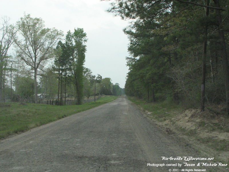
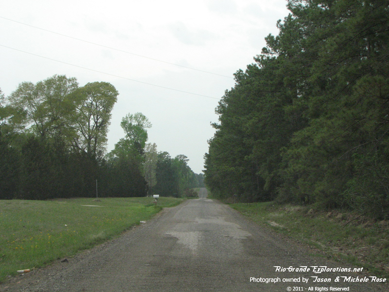
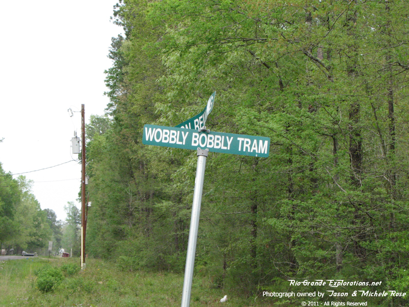
Looking east towards Livingston on the "Wobbly Bobbly Tram Road"
|
|
|
|
Looking east towards Livingston on the "Wobbly Bobbly Tram Road"
|
|
|
|
Looking west towards Blanchard on the "Wobbly Bobbly Tram Road" |
|
|
|
Looking west towards Blanchard on the "Wobbly Bobbly Tram Road"
|
|
|
|
Looking east again
|
|
|
|
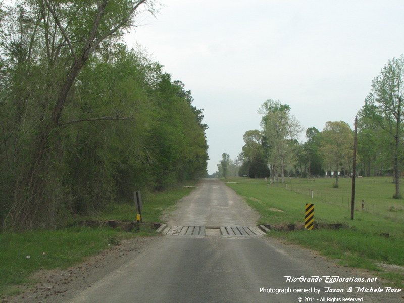
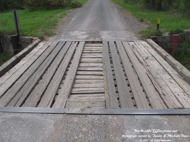
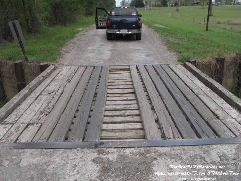
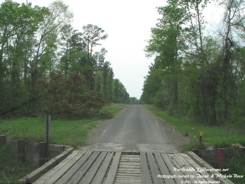
An old bridge a few hundred yards east of the previous photos.
|
|
|
|
An old bridge a few hundred yards east of the previous photos.
|
|
|
|
An old bridge a few hundred yards east of the previous photos.
|
|
|
|
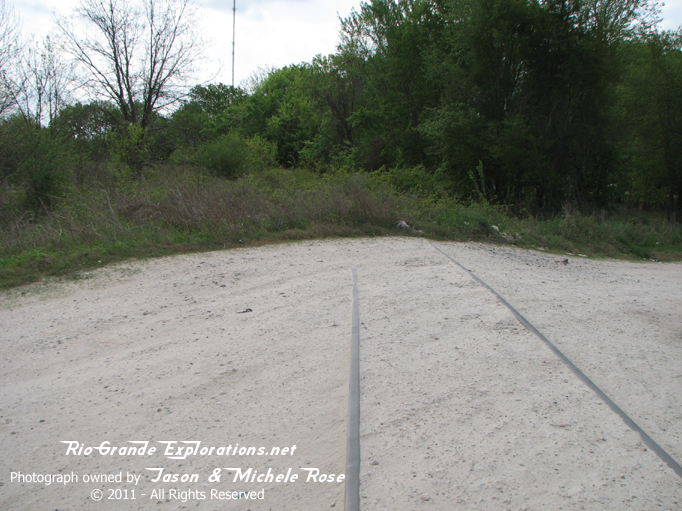
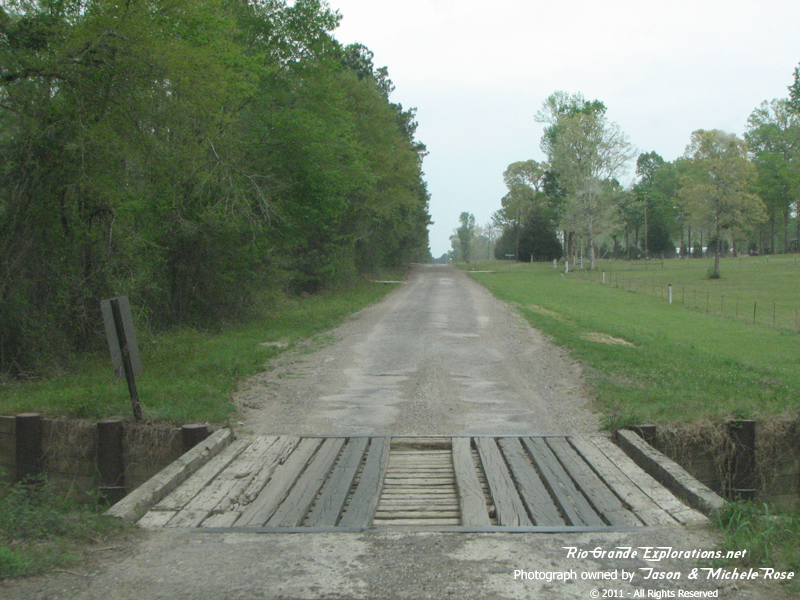
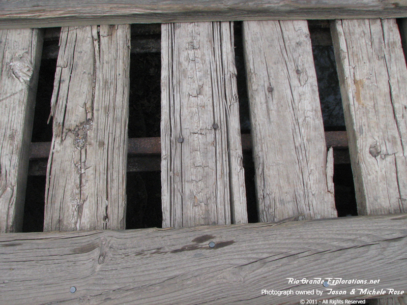
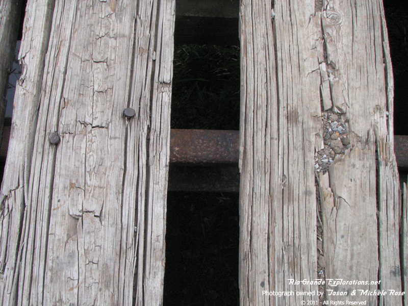
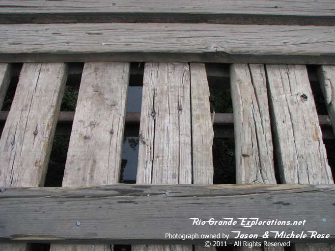
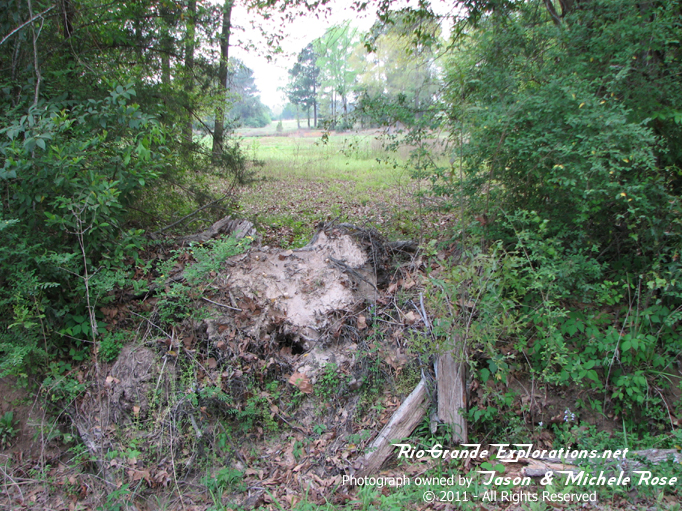
This was the find of the day!!! In addition to what is probably old railroad ties from the RoW, there are real WBTS rails supporting this bridge. It's been over 60 years since a train passed over these rails, yet here they are in 2011 continuing to serve a useful purpose. Simply amazing! I have to wonder else is hiding out there!
|
|
|
|
|
|
|
|
|
|
|
|
Another shot of one of the rails
|
|
|
|
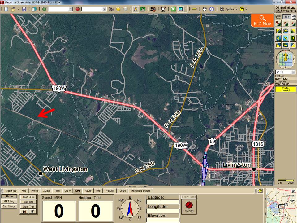
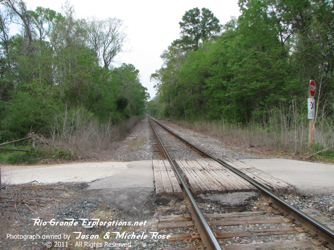
Here's the location of the bridge.
|
|
|
|
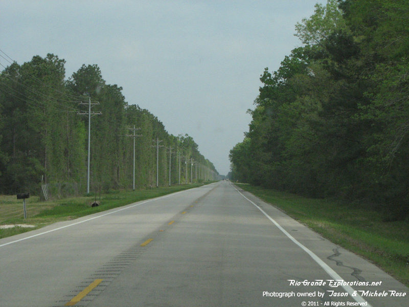
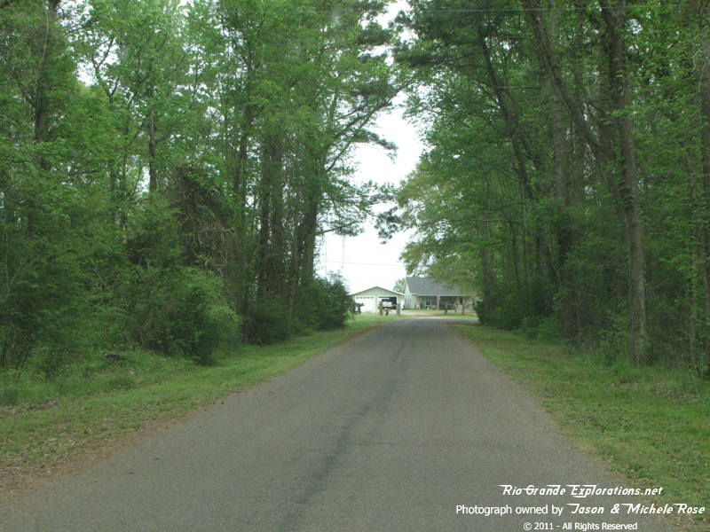
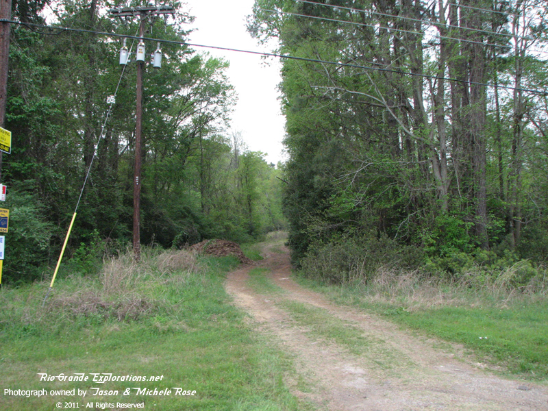
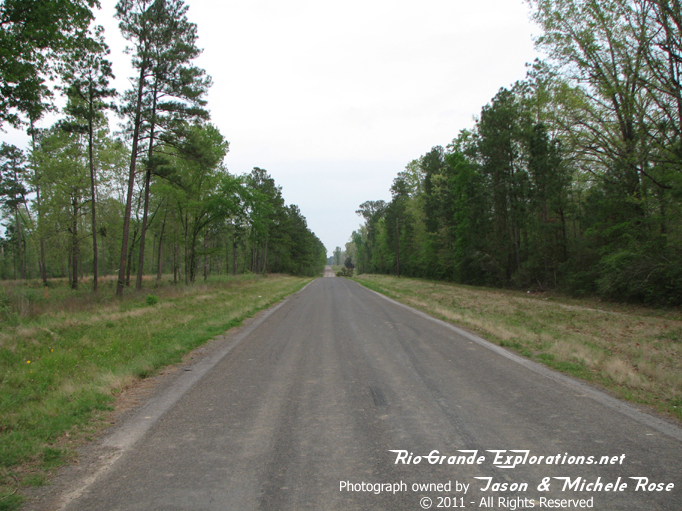
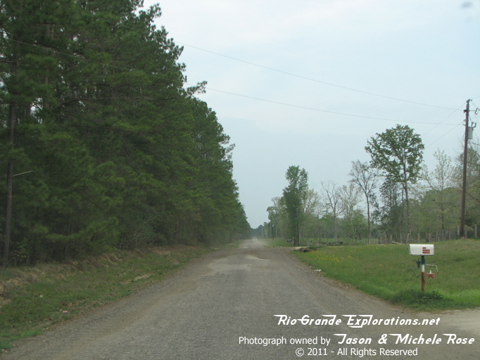
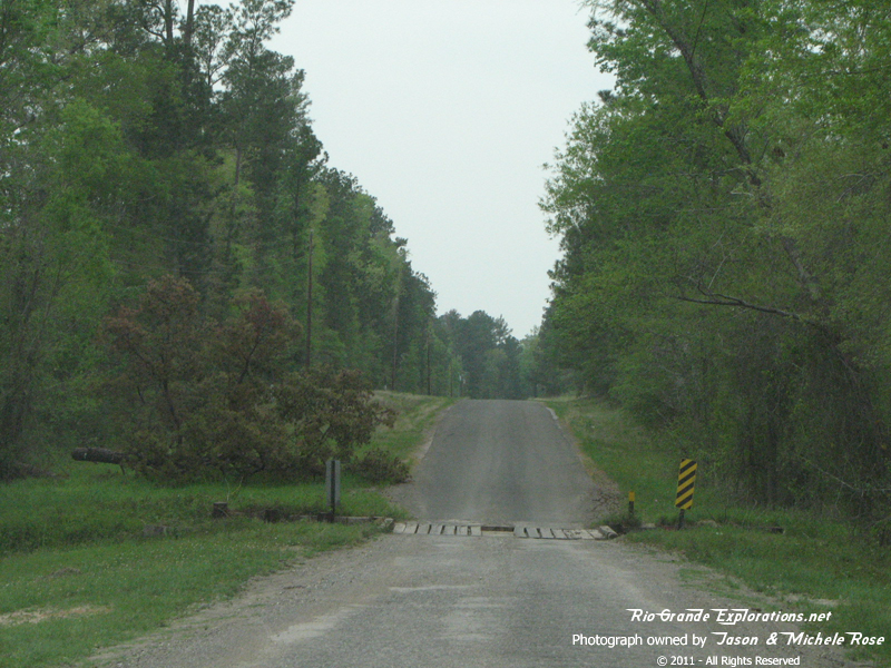
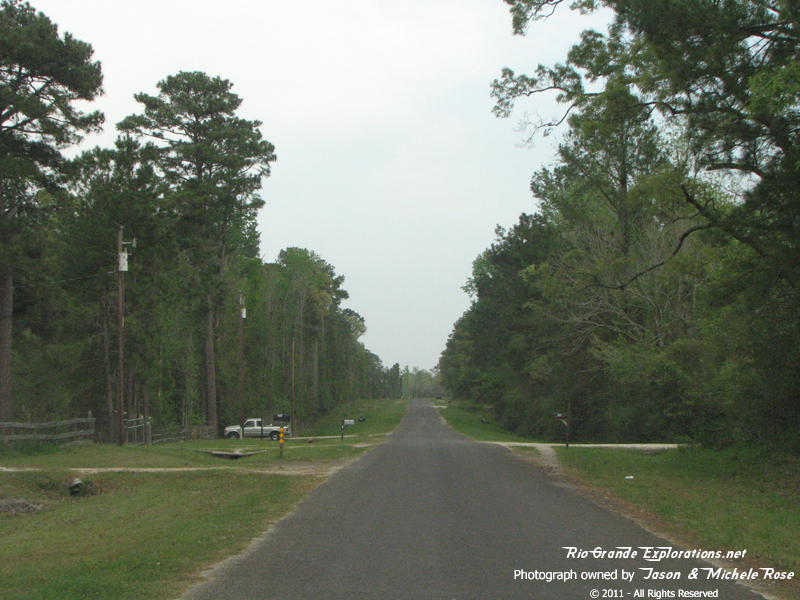
Continuing east on the Wobbly Bobbly Tram Road.
|
|
|
|
Continuing east on the Wobbly Bobbly Tram Road.
|
|
|
|
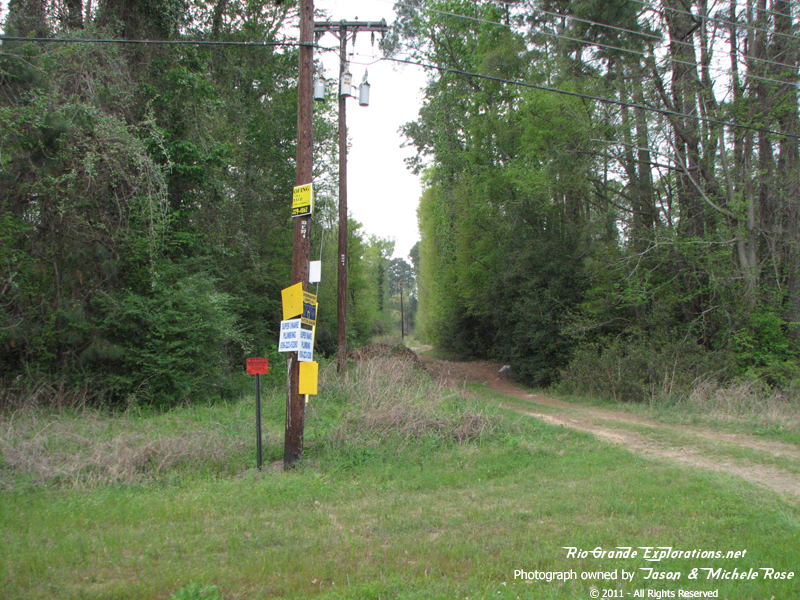
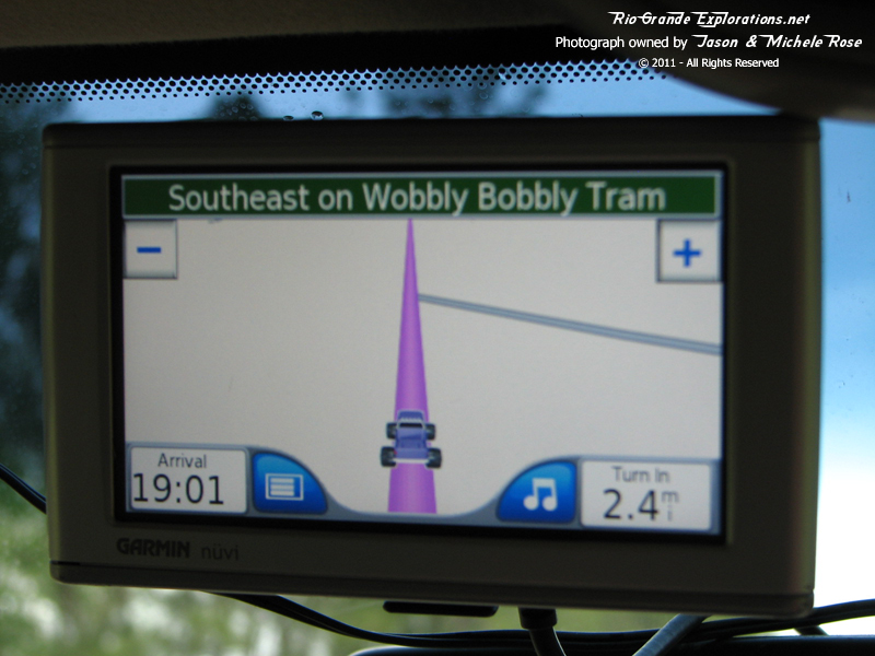
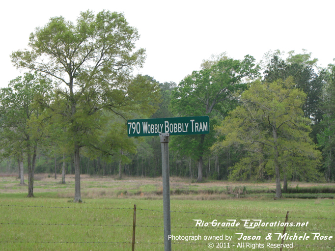
It was pretty neat seeing "Wobbly Bobbly" on the GPS
|
|
|
|
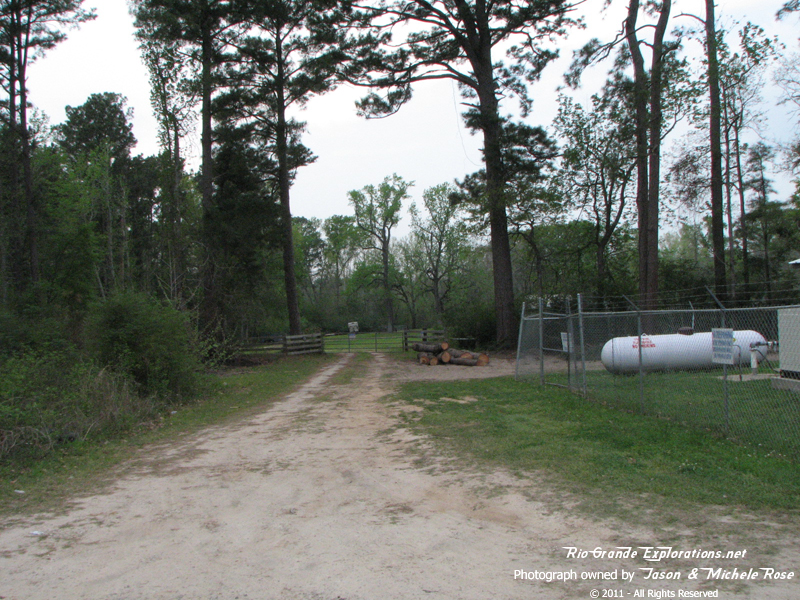
End of the Line... err road. |
|
|
|
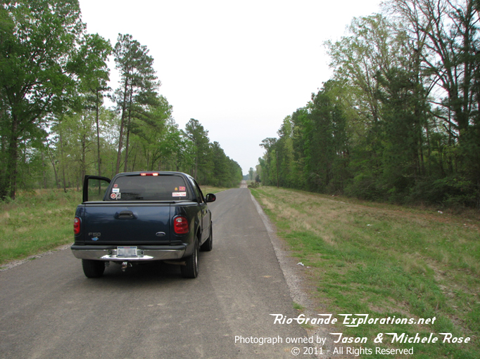
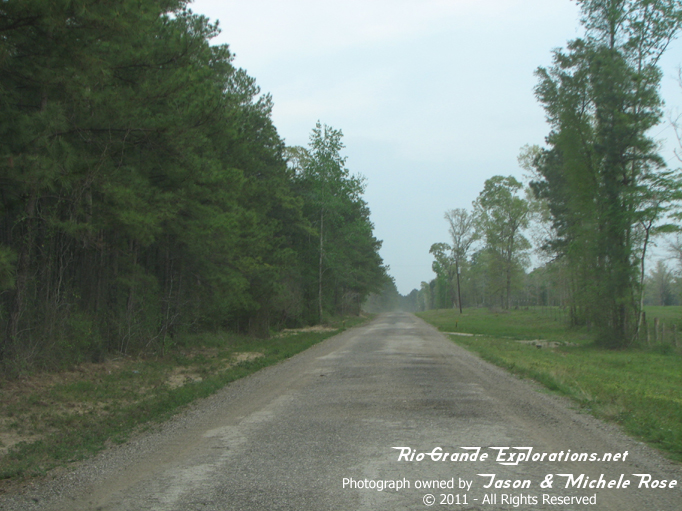
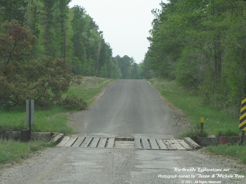
Heading back the way we came, west on Wobbly Bobbly Tram.
|
|
|
|
|
|
|
|
|
|
|
|
|
|
|
|
Re-crossing the bridge made from old ties and rails.
|
|
|
|
|
|
|
|
|
|
|
|
|
|
We got back on FM3126 and leap-frogged over to the next segment of drivable RoW. Looking west towards Blanchard and Trinity.
|
|
|
|
Looking east on Pridgen Road from the same spot towards Livingston and the former junction with the Houston East & West Texas Railroad
|
|
|
|
|
|
|
|
Continuing east on Pridgen Road
|
|
|
|
|
|
|
|
Pridgen Rd dead-ends into FM350. From there we again leap-frogged to the next crossing on Kate Lowe Rd. Here we're looking east towards Livingston. The line ran along tree line.
|
|
|
|
In Livingston we wound around some back roads to get to what was the junction between the WBTS and the HE&WT. The HE&WT became the TNO, then the SP. Today, of course, it's the UP. This line was also known as "The Rabbit." And, it was built NARROW GAUGE!
|
|
|
|
|
|
|
|
|
|
Looking north towards Livingston. The junction was about 100 yards up the line. Robert W. Richardson has a humorous account of riding the line to this spot from Trinity in his book "Chasing Trains." There are several photos on the Photos page from his trip
|
|
|
|
This is on Marsh Rd about 20 yards north of the UP line, looking west towards Highway 59 and Trinity. This is where the Wobbly crossed the road and continued east about 200 yards to the junction. *Note the old ties.
|
|
|
|
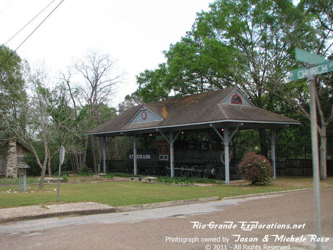
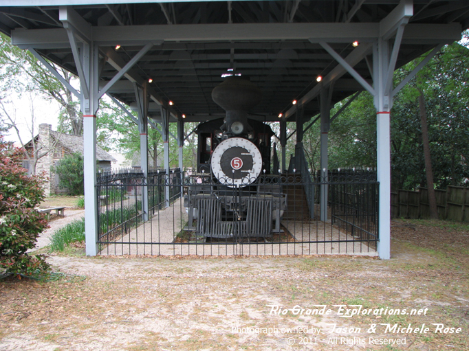
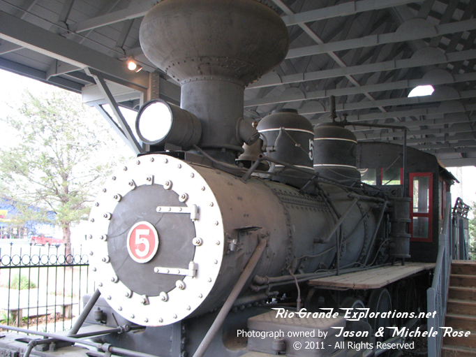
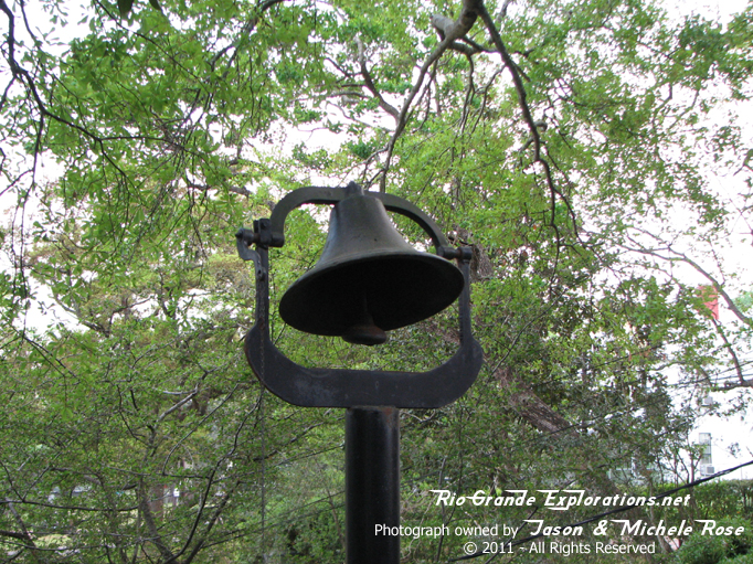
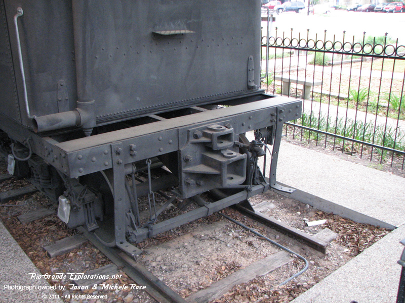
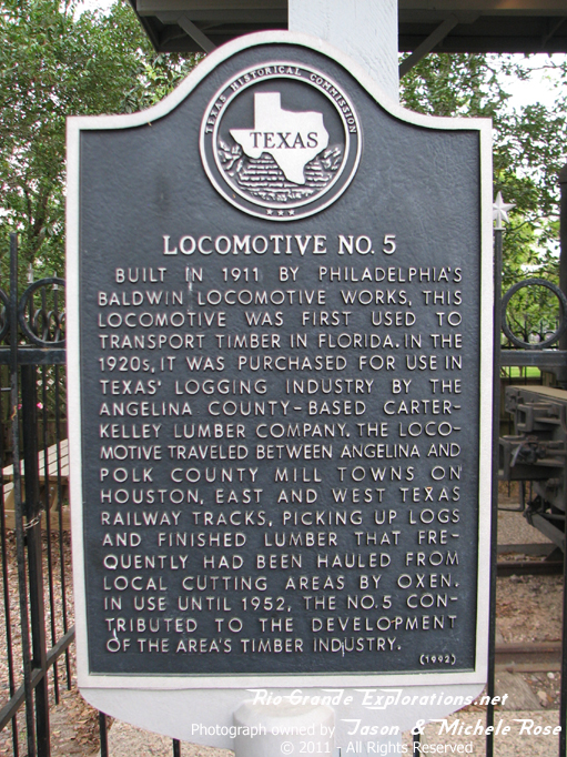
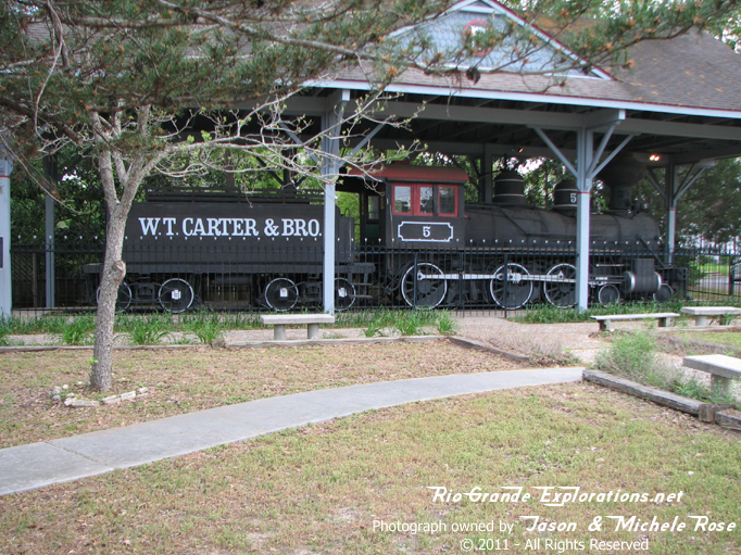
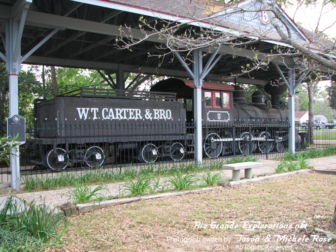
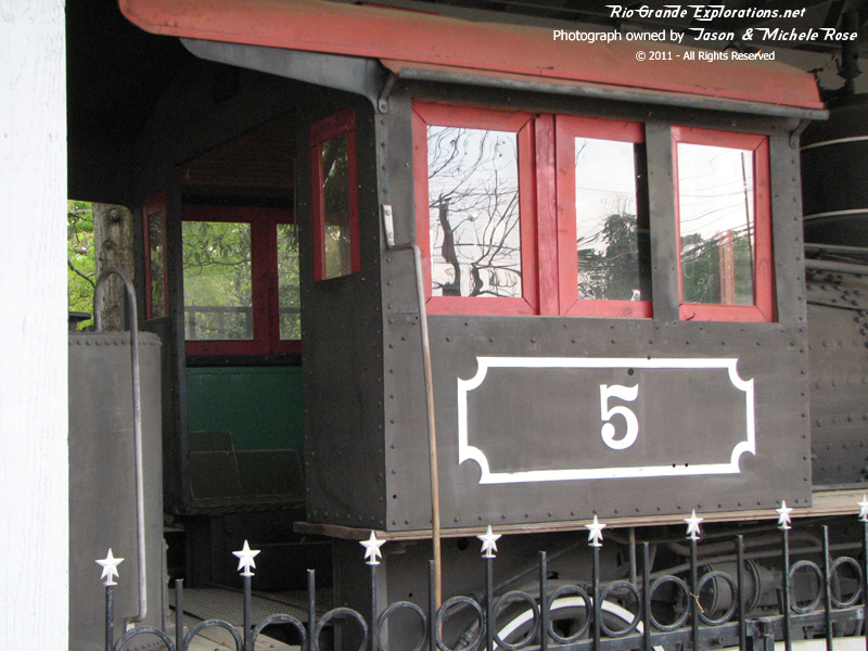
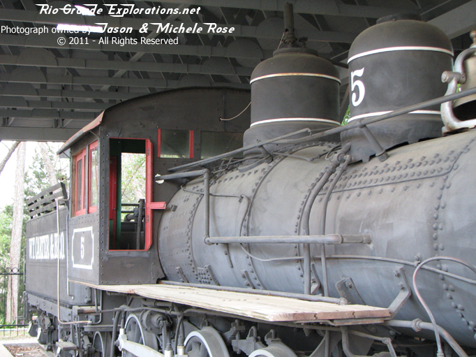
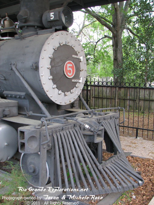
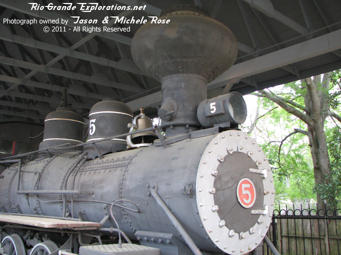
Of course, you can't visit Livingston without the requisite stop to check out WT Carter #5.
|
|
|
|
|
|
|
|
|
|
|
|
|
|
|
|
|
|
|
|
|
|
It's difficult to get good shots because of the fence and shed. But, these are required elements to keep thieves and the weather at bay.
|
|
|
|
|
|
|
|
|
|
|
|
|
|
|
Once again we were visiting family near Trinity and used this trip to the Piney Woods of East Texas as an excuse to trace the old route of the Wobbly.